India puts 28 Ladakh landmarks on official map, including Gogra and Hot Spring
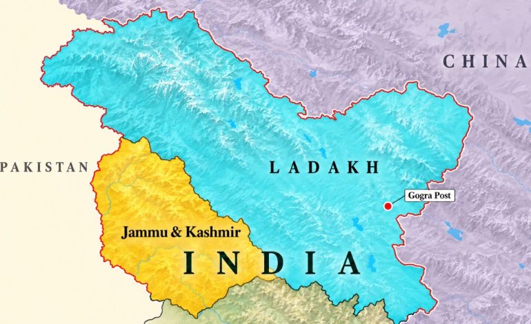
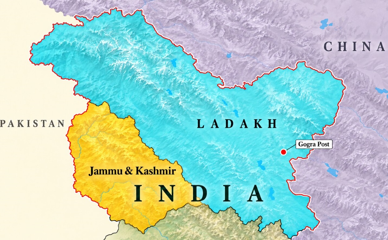
Map showing Jammu & Kashmir and Ladakh with Gogra Post. (Map not to scale.)

New Delhi: India has formally identified 28 places and geographical features in Ladakh on the official Survey of India map, including Gogra and Hot Spring, locations associated with the military standoff with China. Announced on Friday, the exercise standardizes their names in official cartography and brings greater public attention to the geography of the sensitive border region.
The Ministry of Home Affairs’ announcement said the Centre had undertaken the exercise in consultation with the Ladakh administration to facilitate accurate recognition and improve public awareness. It covers peaks, mountains, passes, glaciers, a valley, a river, a lake and other land and water features across the union territory.
The inclusion of Gogra and Hot Spring gives the update particular strategic relevance because both names became prominent during the eastern Ladakh border crisis that began in May 2020. However, the announcement concerns their formal identification on the map and contains no declaration of a boundary revision, a change in military deployments or fresh arrangements for patrolling.
According to the published list of geographical features, the ten peaks are Atisha Giri, Kanishka Peak, Martand Giri, Zorawar Peak, Rinchen Zangpo, Sakyasri Giri, Marpa Lotsava Ri, Milarepa Kangri, Shiva Ri and Maheshvara Ri. Karun Pir, Drak Karpo and Jolmori are separately classified as mountains.
The seven locations classified as land areas are Brangsa, Kuksel, Dehra Compass, Gogra, Kumarayana Point, Panglung and Shamal Lungpa. The list also identifies Chapchingal Pass and Shachmirk Pass as passes, and Parpik and Skamri Glacier as glaciers.
The remaining features are Shkorga alvley, Guru Rinpoche, Yangpa river and Hot Spring, classified respectively as a valley, lake, river and water body. These classifications make clear that the exercise covers a range of geographical landmarks rather than 28 settlements or military posts.
The government has directed readers to the Survey of India’s state maps page to view the Ladakh map containing the additional names. In practical terms, a standard name gives officials, researchers, journalists and the public a common reference when discussing a location that may otherwise appear under different spellings or descriptions.
The border background also requires a distinction between Gogra and the Gogra-Hot Springs area, where troop withdrawals occurred at different stages. At Gogra’s patrolling point 17A, India and China carried out disengagement on August 4 and August 5, 2021, following agreement during their twelfth round of corps commander talks.
India’s statement at the time said both sides had ceased forward deployments and returned troops to their respective permanent bases. It also said temporary structures and associated infrastructure had been dismantled and the process mutually verified, making this a negotiated military withdrawal rather than a cartographic exercise.
A separate disengagement process at Gogra-Hot Springs’ patrolling point 15 began on September 8, 2022, with completion scheduled for September 12, 2022. The sequence is significant because withdrawals from the confrontation areas were negotiated progressively, rather than through a single agreement covering the entire eastern Ladakh frontier.
India and China subsequently reached an agreement on patrolling arrangements in Depsang and Demchok on October 21, 2024, leading to disengagement there. The external affairs ministry has separately stated that the terms of earlier disengagement agreements continue to apply in the relevant areas of eastern Ladakh, underlining why the latest map update cannot be read as a new patrolling agreement.
The wider territorial dispute remains unresolved, with India maintaining that approximately 38,000 square kilometres of its territory in Ladakh is under Chinese occupation. Official mapping records India’s territorial position, while deployments and access on the ground are governed by the actual security situation and the arrangements negotiated between the two countries.
The Ladakh announcement follows a similar exercise covering 27 places and features in Arunachal Pradesh, announced on August 7, as RNA Media had reported then. Both initiatives use standard place and feature names on Survey of India maps, with the stated purpose of improving geographical identification and public awareness.
Together, the updates give greater visibility to border geography at a time when place names themselves feature in India-China diplomatic disagreements. Their immediate effect is clearer official nomenclature; questions of sovereignty, boundary settlement and military access remain matters for the broader negotiations between New Delhi and Beijing.