

Isro launches EOS-05 successfully. How GSLV-F17 works and why India’s first geosynchronous imaging satellite matters
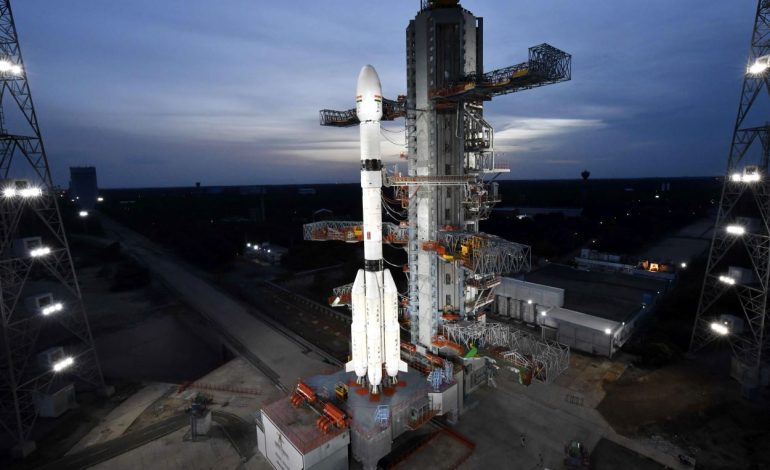
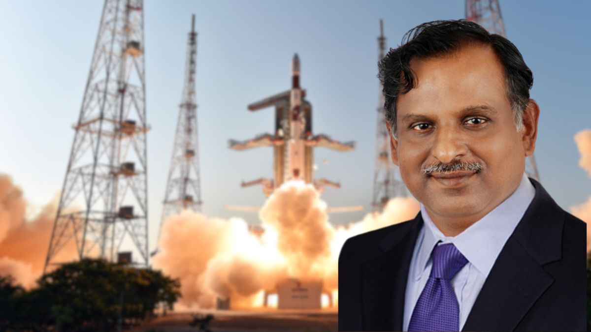
The GSLV-F17 with the EOS-05 satellite before launch at the Satish Dhawan Space Centre in Sriharikota. (Photo: Isro)

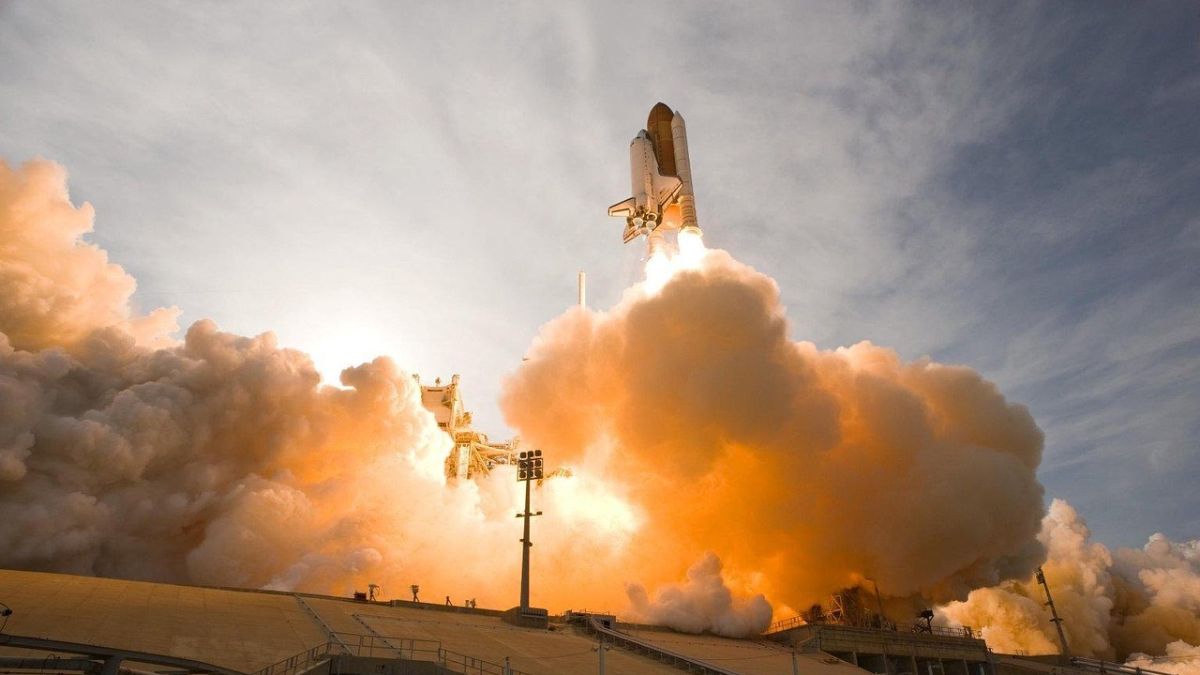
New Delhi: India successfully launched EOS-05, its first dedicated Earth-imaging satellite designed to operate from geosynchronous orbit, aboard the GSLV-F17 rocket early on Friday. The mission gives the country a near-continuous observation platform capable of repeatedly scanning India and its surrounding region from an altitude of about 36,000 kilometres.
The 51.7-metre rocket lifted off from the second launch pad at the Satish Dhawan Space Centre in Sriharikota at 2.55am on Friday. About 18 minutes later, its cryogenic upper stage released the 2,367-kilogram EOS-05 into the intended sub-geosynchronous transfer orbit.
The Indian Space Research Organisation (Isro) said the spacecraft had been injected precisely into its designated preliminary orbit. The agency’s official mission page confirmed that GSLV-F17 had accomplished its task successfully and that EOS-05 would now proceed towards its operational geosynchronous orbit.
The satellite was released into an elliptical orbit with a nominal perigee, or nearest point to Earth, of 170 kilometres and an apogee, or farthest point, of 28,934 kilometres. Its inclination was planned at 19.28 degrees, according to the GSLV-F17 mission brochure.
EOS-05 was therefore not placed directly in its final orbit by the rocket, as some early reports suggested. The spacecraft must conduct a series of carefully timed orbit-raising manoeuvres using its onboard propulsion system to increase the apogee and perigee, reduce the orbital inclination and eventually enter its assigned position close to 36,000 kilometres above Earth.
The chairman of Isro, V Narayanan, said after the launch that all systems aboard the satellite were functioning normally and its solar array had been deployed. He said the spacecraft would be moved into geosynchronous orbit over the following days and described it as a source of important strategic data for the country.
With a mass of about 2,367 kilograms, EOS-05 is the heaviest payload launched so far by the GSLV. Narayanan said the vehicle’s carrying capacity had been progressively improved through propulsion enhancements and reductions in structural mass, from the 1,536-kilogram payload carried on the first GSLV mission in 2001.
GSLV-F17 was the 19th flight of India’s Geosynchronous Satellite Launch Vehicle family and Isro’s first launch since the unsuccessful PSLV-C62 mission on January 12, 2026. That rocket, which was carrying the EOS-N1 Earth-observation satellite and several smaller payloads, deviated from its planned trajectory following an anomaly near the end of its third-stage operation.
The January setback had followed the failure of PSLV-C61 in May 2025, when another problem involving the third stage prevented EOS-09 from reaching orbit. Isro consequently subjected later missions to additional reviews and tests, and the EOS-05 launch – reportedly ready several months earlier – was held back for further technical checks.
The success also closes an important unfinished chapter dating to August 2021, when the GSLV-F10 mission carrying EOS-03, or GISAT-1, failed after the rocket’s cryogenic upper stage did not ignite. EOS-03 had been intended to establish India’s first geosynchronous Earth-imaging capability, a goal that EOS-05 is now positioned to realize after it reaches its operational orbit and completes in-orbit testing.
The prime minister, Narendra Modi, congratulated the space agency and said the mission reflected the growing capabilities of India’s space sector. He also highlighted the increasing contribution of Indian industry to the country’s launch vehicles, spacecraft and wider space ecosystem.
How the GSLV-Mk II carries satellites towards high orbit
GSLV-F17 belongs to the GSLV-Mk II family, a three-stage expendable launch vehicle developed primarily to carry communication, navigation and other relatively heavy spacecraft towards geosynchronous transfer orbit. It should not be confused with the larger LVM3, formerly called GSLV-Mk III, which has a different design and can carry substantially heavier payloads.
According to Isro’s GSLV specifications, the Mk II stands 51.73 metres tall and has a liftoff mass of approximately 420 tonnes. The vehicle combines solid, earth-storable liquid and cryogenic propulsion, allowing each part of the flight to be handled by a propulsion system suited to that phase.
Its first propulsion unit consists of an S139 solid core stage surrounded by four L40H liquid strap-on boosters. The solid motor carries about 138 tonnes of hydroxyl-terminated polybutadiene-based propellant, while the four boosters together hold approximately 170 tonnes of liquid propellant.
The solid core provides the high thrust needed during the initial climb through the dense lower atmosphere, while the liquid boosters supplement and help control that ascent. The strap-ons use UH25 fuel – a mixture based on unsymmetrical dimethylhydrazine and hydrazine hydrate – with nitrogen tetroxide serving as the oxidizer.
Above this assembly is the GL40HT second stage, which carries about 42 tonnes of the same liquid fuel-and-oxidizer combination. Liquid propulsion permits more precise control than a solid motor because its thrust and operation can be regulated during flight.
The third stage is the indigenous CUS15 cryogenic upper stage, carrying about 15 tonnes of liquid hydrogen and liquid oxygen. These propellants must be stored at extremely low temperatures, but their high efficiency makes them particularly valuable when a satellite must be accelerated towards an energy-intensive transfer orbit.
Developing a dependable cryogenic stage was one of the most difficult technological challenges in India’s launch-vehicle programme. Isro first flew a GSLV with its indigenous cryogenic stage in 2010, but the configuration achieved its first complete success with GSLV-D5 on January 5, 2014.
GSLV-F17 also carried a four-metre-diameter composite payload fairing with an ogive, or smoothly curved, aerodynamic profile. The fairing protected EOS-05 against aerodynamic pressure, heating and acoustic vibration during the early part of the ascent before being discarded once the vehicle had cleared the denser atmosphere.
The rocket’s task ended after the cryogenic stage established the required velocity and released EOS-05 into the planned sub-geosynchronous transfer orbit. This elongated orbit is an intermediate route that reduces the amount of work required from the launch vehicle while allowing the satellite to complete the journey using its own propulsion.
During orbit raising, the spacecraft fires its engine near the low point of successive orbits to lift the opposite, higher side farther from Earth. Additional burns progressively circularize the orbit near geosynchronous altitude and reduce its inclination until the spacecraft reaches the orbital geometry required for sustained observation.
What EOS-05 will do from geosynchronous orbit
EOS-05 is an advanced Earth-observation spacecraft widely associated with the earlier GISAT programme and also referred to as GISAT-1A in mission reporting. Isro has described it as India’s first imaging satellite intended to operate from geosynchronous orbit and has assigned it an assured operational life of seven years, although Narayanan said it could potentially function for more than nine.
Most Indian remote-sensing satellites operate in low Earth or sun-synchronous polar orbits, typically a few hundred kilometres above the planet. They can capture much finer surface detail because they are closer to Earth, but they see a particular location only when their orbital path carries them over it.
A satellite in geosynchronous orbit takes roughly the same time to complete one revolution around Earth as the planet takes to rotate. If that orbit is circular and lies directly above the equator, the spacecraft is geostationary and appears to remain over the same longitude, permitting persistent observation of an enormous geographical area.
EOS-05’s principal advantage is therefore temporal coverage rather than the extremely high spatial resolution available from low-orbiting reconnaissance and remote-sensing satellites. It can repeatedly examine India and neighbouring regions without waiting hours or days for another satellite pass, making it valuable when conditions are changing rapidly.
The minister of state for space, Jitendra Singh, said the spacecraft would conduct advanced imaging across visible, infrared, multispectral and hyperspectral bands. Multispectral instruments record selected portions of the electromagnetic spectrum, while hyperspectral sensors divide reflected energy into many narrow bands that can help distinguish materials, vegetation conditions, moisture and other surface characteristics.
Near-real-time observation could improve the monitoring of cyclones, floods, forest fires, landslides and other fast-developing disasters. It can also support agriculture, forestry, water-resource management, ocean studies, environmental assessment and the observation of large infrastructure projects.
The satellite also has an unmistakable strategic dimension because persistent coverage can help India monitor border regions, maritime approaches and developments across its extended neighbourhood. Narayanan’s reference to “strategic data” indicates that EOS-05 will support national requirements beyond purely civilian resource mapping, although Isro has not publicly disclosed its complete tasking arrangements.
Published descriptions of the GISAT architecture have associated the system with imaging of selected sectors at intervals of about five minutes and wider coverage of the Indian landmass roughly every 30 minutes. They have also referred to multispectral visible and near-infrared imagery with a ground resolution of about 42 metres, but these figures were not restated in Isro’s current EOS-05 mission brochure and should not be treated as a fresh performance guarantee.
Optical observation from geosynchronous orbit has limitations, particularly because clouds can obscure the surface in visible and several infrared bands. EOS-05 will therefore complement rather than replace India’s lower-orbiting optical and radar satellites, including spacecraft capable of collecting data through clouds and during darkness. The combination is operationally important: geosynchronous imaging can flag changes quickly and maintain a broad watch, while satellites in lower orbits can be directed to obtain more detailed imagery when their trajectories permit. Once EOS-05 reaches its final orbit and completes commissioning, India will possess a type of persistent national imaging capability that the unsuccessful EOS-03 mission had been intended to provide five years earlier.