

China challenges India’s Ladakh map update, calls naming of 28 places ‘illegal’
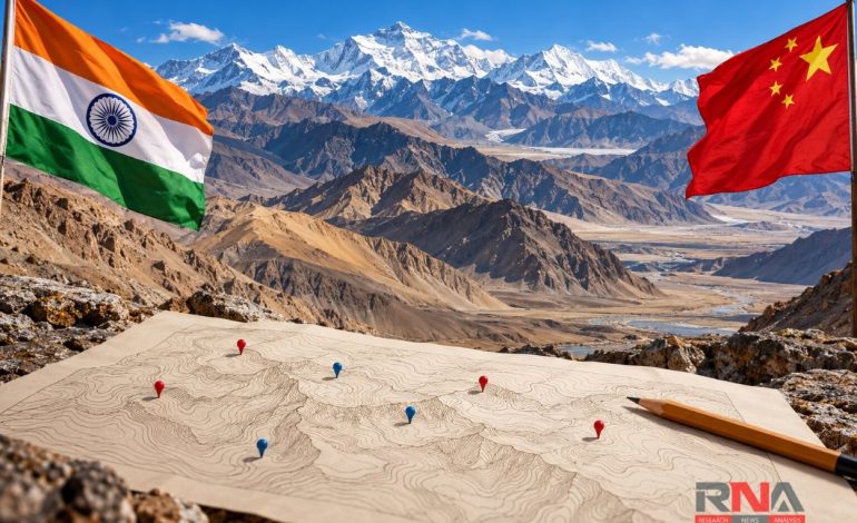
RNA Media illustration for representation.

New Delhi: China has objected to India’s decision to standardize the names of 28 geographical features in Ladakh, including locations in Chinese-controlled Aksai Chin, calling the exercise “illegal and invalid”. The objection adds another diplomatic dispute over maps and place names to a relationship in which the territorial boundary remains unresolved despite agreements to ease military tensions.
The Chinese foreign ministry spokeswoman, Mao Ning, said on Tuesday that Beijing did not recognize the Union territory of Ladakh and opposed India’s inclusion of the designated names on official maps. According to the Global Times report, she also asserted that the relevant areas in the western sector of the India–China boundary had always belonged to China – a territorial claim New Delhi rejects.
The immediate trigger was an announcement by the Union home ministry on October 2, identifying 28 places and natural features by their standard names on the official Survey of India map, as RNA Media had reported. The ministry said the exercise, undertaken in consultation with the Ladakh administration, was intended to improve accurate identification and public awareness of these locations.
The list comprises 10 peaks, three mountains, seven land areas, two passes, two glaciers, a valley, a river, a lake and a water body. Among the entries are Gogra, Hot Spring, Dehra Compass, Shamal Lungpa, Kumarayana Point and Guru Rinpoche lake, alongside peaks such as Kanishka Peak, Zorawar Peak and Atisha Giri.
The announcement formally records geographical names in India’s cartographic system but does not itself change territorial control or settle competing boundary claims. Its diplomatic significance stems from the inclusion of features in areas that India regards as part of Ladakh but which lie under Chinese or Pakistani control, making the update an expression of India’s existing territorial position.
Aksai Chin is central to that dispute: India claims the high-altitude region as part of Ladakh, while China controls it and has built strategically important transport infrastructure across it. Guru Rinpoche lake lies east of the G219 highway and Kumarayana Point is situated along the same route, which connects Xinjiang and Tibet.
The newspaper also reported that several names draw on Tibetan linguistic traditions, while older names associated with trans-Himalayan trading routes have been retained. That historical context matters because the region’s geographical vocabulary reflects centuries of travel, commerce and cultural contact, as well as the competing territorial claims of modern states.
Gogra and Hot Spring carry a more recent military significance because they were associated with the eastern Ladakh confrontation that began in 2020. Their inclusion places locations familiar from disengagement negotiations within the same official naming exercise as remote peaks, glaciers and features in Aksai Chin.
The External Affairs Ministry’s said the October 2024 agreement arrangements for patrolling in Depsang and Demchok led to disengagement from all the friction points arising from the 2020 crisis. It also states that earlier disengagement agreements continue to apply in the relevant areas of eastern Ladakh, underscoring the distinction between managing military friction and resolving the boundary itself.
The Ladakh announcement follows a similar Indian exercise involving 27 places and features in Arunachal Pradesh in August 2026, which also drew objections from Beijing. China has issued its own successive lists of names for locations in Arunachal Pradesh, while India has repeatedly rejected Chinese claims to the state.
India’s stated position on Ladakh was reiterated in September when it rejected the operationalization of a Pakistan-China boundary joint commission. New Delhi maintained that Jammu & Kashmir and Ladakh are integral parts of India and that arrangements concerning territory under Pakistani occupation were unacceptable, providing the wider sovereignty context for the latest map update.