


India rejects China’s Ladakh map objection: ‘No amount of denial’ can change its status, New Delhi asserts
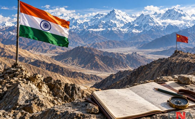
RNA Media illustration for representation.

New Delhi: India on Tuesday rejected China’s objection to the formal identification of 28 places and geographical features in Ladakh, reaffirming that the union territory is an integral and inalienable part of the country. The ministry of external affairs said the exercise recorded standard names on the Survey of India’s official map in consultation with the Ladakh administration and local stakeholders.
In its response to media queries, the ministry’s spokesperson, Randhir Jaiswal, dismissed Beijing’s challenge to Ladakh’s status. “No amount of denial by the Chinese side can change this established fact,” he said.
Jaiswal described the home ministry’s announcement as self-explanatory, saying the formal identification of the locations was intended to help people recognize them accurately and improve public awareness. His response defended the mapping exercise while reiterating India’s established position on sovereignty over Ladakh.
As RNA Media had reported earlier on Tuesday, the statement followed China’s objection to the map update, which includes locations in Chinese-controlled Aksai Chin. Beijing called the exercise “illegal and invalid” and challenged India’s authority to assign the names.
The Chinese foreign ministry’s spokeswoman, Mao Ning, said Beijing did not recognize the union territory of Ladakh, repeating its opposition to India’s administrative reorganization of the region. She also asserted that the relevant areas in the western sector of the India–China boundary had always belonged to China – a claim New Delhi rejects.
The immediate trigger was the home ministry’s announcement on October 2 formally identifying 28 places and natural features on the Survey of India map. The government said the exercise had been undertaken in consultation with the union territory’s administration to provide clear geographical references for the public.
The list covers 10 peaks, three mountains, seven land areas, two passes, two glaciers, a valley, a river, a lake and a water body. It therefore concerns a range of geographical features, rather than 28 villages, settlements or military posts.
Among the entries are Kanishka Peak, Zorawar Peak, Atisha Giri, Dehra Compass, Kumarayana Point and Shamal Lungpa, alongside Gogra and Hot Spring. The official classification identifies Gogra as a land area and Hot Spring as a water body, while Guru Rinpoche is listed as a lake.
The dispute carries particular sensitivity because Aksai Chin is claimed by India as part of Ladakh but remains under Chinese control. As the RNA Media earlier report explains, some of the identified features are associated with the strategically important G219 highway connecting Xinjiang and Tibet.
Gogra and the Gogra-Hot Springs area also featured prominently in the eastern Ladakh military confrontation that began in 2020. Disengagement at Gogra’s patrolling point 17A took place in August 2021, while a separate withdrawal process at patrolling point 15 in the Gogra-Hot Springs area followed in September 2022.
India and China subsequently reached an agreement on October 21, 2024, covering patrolling arrangements in Depsang and Demchok. In a parliamentary reply, the external affairs ministry said this led to disengagement from all the friction points arising from the 2020 confrontation, while earlier disengagement arrangements continued to apply elsewhere in eastern Ladakh.
Those military arrangements and the latest mapping exercise address different questions: disengagement governs troop separation and agreed access, while official maps record geographical names and territorial positions. The October 2 announcement contains no declaration of a boundary revision, new military deployments or changes to patrolling arrangements.
Place names have also been a recurring source of disagreement in Arunachal Pradesh, where China has published successive naming lists for locations it claims. India has repeatedly rejected those exercises, maintaining that they cannot alter the state’s status as an integral part of the country.
The latest exchange illustrates how disagreements over official nomenclature remain tied to the unresolved boundary question, despite negotiated steps to reduce military friction. India’s response rests on two stated positions: Ladakh’s status is not open to Chinese challenge, and the identification of its geographical features is an exercise undertaken with local consultation.