


Cyclone Murasu approaches Andhra Pradesh days after Arnab, to bring 120kmph winds
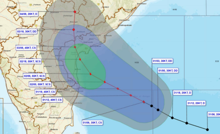
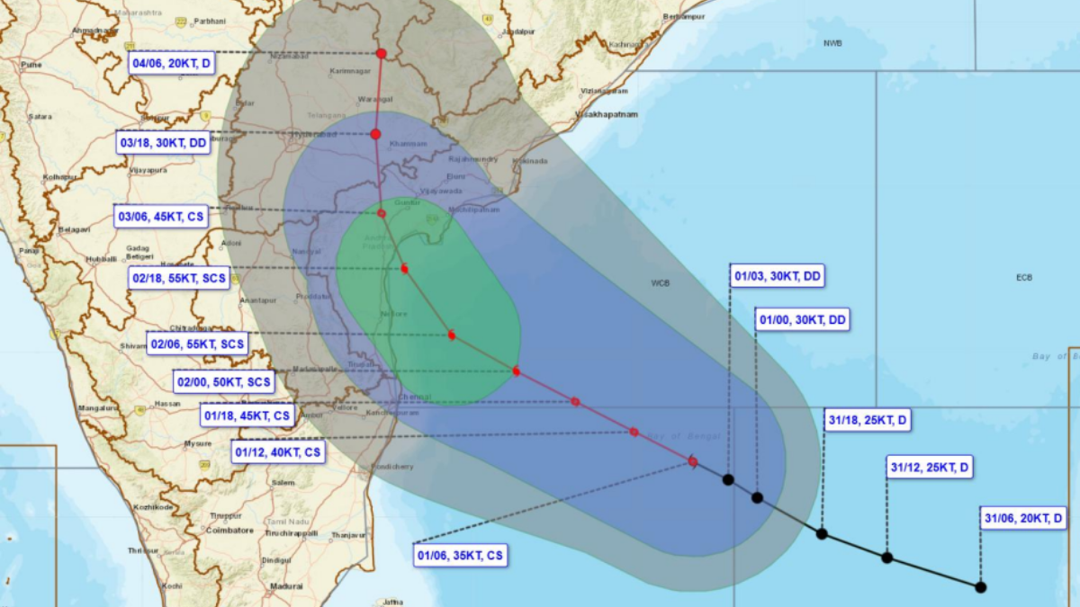
Cyclone Murasu approaches Andhra Pradesh. (Image courtesy: IMD)

New Delhi: Days after Cyclone Arnab hit Andhra Pradesh, another storm is heading towards the state’s coast. The India Meteorological Department has warned that Cyclone Murasu could bring winds of up to 120kmph, extremely heavy rainfall and flooding in low-lying areas when it makes landfall early Tuesday.
Murasu is expected to cross the south Andhra Pradesh coast between Nellore and Narsapur late Monday night and early Tuesday morning. It is likely to strengthen into a severe cyclonic storm, with winds of 100–110kmph and gusts of up to 120kmph.
At 11.30am on Sunday, the storm was located around 560km east-southeast of Chennai, 660km south-southeast of Visakhapatnam and 630km east-southeast of Nellore. It is moving northwestwards towards the Andhra Pradesh coast.
Winds along the Andhra Pradesh, north Tamil Nadu and Puducherry coasts could reach 65–75kmph by Monday afternoon, with gusts of up to 85kmph. They may strengthen to 80–90kmph by evening, with gusts reaching 100kmph. Winds could reach 120kmph around midnight.
According to the IMD, the water level may increase up to one meter above the tidal level at the time of landfall. This would mean flooding in low-lying areas, especially in Bapatla in Krishna and Prakasam districts. The sea situation along the coast of Andhra Pradesh will continue to be very rough till Tuesday afternoon.
Heavy to very heavy rain is expected in Coastal Andhra Pradesh on Monday and Tuesday, with extremely heavy rain forecast in isolated areas. Heavy to very heavy rains may also be experienced in North Tamil Nadu and Rayalaseema on the two days. Heavy to very heavy rains are also expected in South Odisha on Tuesday and Wednesday.
The state of Telangana may experience heavy showers on Tuesday and Wednesday, while extremely heavy showers may fall in isolated areas on Wednesday. The South Chhattisgarh region may experience heavy rains on Tuesday, while very heavy rains may occur in isolated areas in the following two days.
Fishermen are warned against entering the southeastern Bay of Bengal on Monday and Tuesday, southwestern Bay of Bengal till the morning of Wednesday, and western-central Bay of Bengal till the afternoon of November 4. The fishermen are also warned against sailing out to sea off the coasts of Andhra Pradesh from the morning of Monday till the afternoon of Wednesday.
Fishing operations are also restricted along the northern Tamil Nadu-Puducherry coast till the morning of Wednesday and western-northwestern Bay of Bengal and south Odisha coasts from the evening of Tuesday till the afternoon of Wednesday.
The IMD has advised people living in coastal hutments to move to safer places. Residents in affected areas have been asked to remain indoors during severe weather. Small boats and motorboats may also be unsafe in the rough sea.
Arnab Cyclone made landfall in the vicinity of Odalarevu in Andhra Pradesh on October 29. As per the estimate of the chief minister of Andhra Pradesh, N Chandrababu Naidu, the preliminary damage was worth about ₹4,600 crores. However, Murasu Cyclone is making its way to the state only after a few days of Arnab’s landfall.