


Google pauses Google Earth AI tool over fake satellite images, misinformation risks
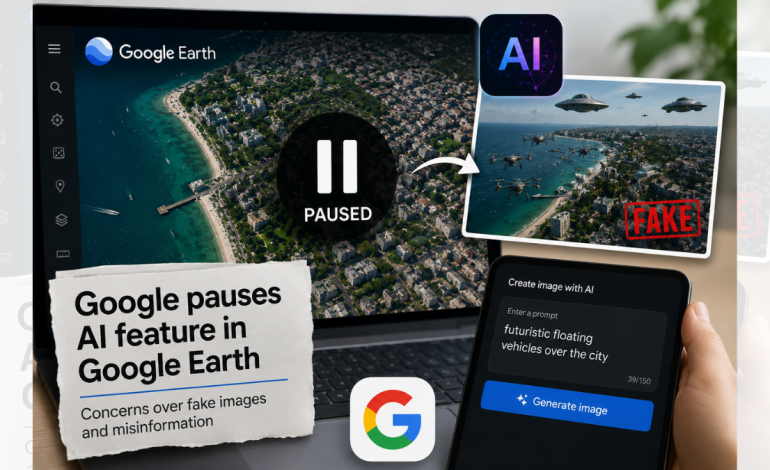
RNA Media illustration for representation.

New Delhi: Google has suspended an AI feature in Google Earth after concerns that users could create realistic-looking but completely fictional scenes at real locations and use them to spread misinformation. The feature was taken down less than 48 hours after its launch as experts warned that manipulated satellite imagery could be particularly dangerous during conflicts and other fast-moving events.
The company said it had observed users sharing screenshots of generated images that appeared to violate its policies. Google said it was pausing the feature while it worked on implementing “stronger guardrails”.
The controversy centres on Nano Banana 2, Google’s AI image generator, which was integrated into Google Earth. The tool allowed users to enter text prompts and generate changes to satellite, aerial or 3D imagery of real locations, with the resulting images available for download and sharing.
According to BBC Verify, testing of the feature showed how easily fictional events could be placed into recognisable real-world settings. Images depicting a collapsed Eiffel Tower and a sinkhole swallowing the Great Pyramid of Giza were among those generated during the tests.
The bigger concern, however, was the credibility attached to such images. AI and misinformation expert Henk van Ess said fabricated scenes could be placed on genuine satellite imagery and linked to genuine geographic coordinates, making the resulting images appear more authentic than ordinary AI-generated pictures.
This could become particularly problematic when the images relate to wars or other crises. AI and misinformation researcher Henry Ajder said fake imagery from conflict zones could be “destabilising”, especially when information is limited and events are developing rapidly.
The feature also raised questions about Google’s existing safeguards. The company had said its AI system was designed to prevent the generation of harmful content, but testing found that changing the wording of a request could sometimes bypass those restrictions.
Google said AI-generated images contain invisible watermarks and suggested that users could use Gemini or Google Lens to check whether an image had been manipulated. However, BBC Verify found that these checks were not foolproof.
In some tests, Gemini could be persuaded to describe fake Google Earth images as genuine. Some external AI-detection tools also failed to identify the manipulated imagery, highlighting the difficulty of relying solely on automated systems to verify AI-generated content.
The issue is significant because satellite imagery has traditionally been regarded as a relatively reliable source of information about events and locations that are difficult to access directly. Bill Greer, a geospatial analyst and co-founder of the non-profit satellite service Common Space, said the spread of falsified satellite imagery could further undermine public confidence in genuine data.
Google itself acknowledged the importance of that trust, saying, “We know that people uniquely trust Google Earth for a reliable view of the world,” it added.