


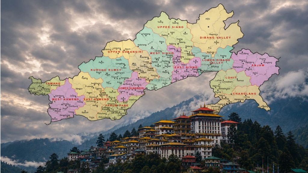
New Delhi: India has mapped several disputed and sensitive pockets along the Arunachal Pradesh border with China, putting a number of contested areas on its official geographical record. The exercise includes locations where Chinese forces have illegally maintained a presence or developed infrastructure over the years.
As previously reported by RNA, the centre had formally identified 27 places and geographical features in Arunachal Pradesh for inclusion on official Survey of India maps. The latest mapping gives particular attention to disputed frontier pockets, including Longju, Bisa and Maja, which India considers its territory but which remain under Chinese control, according to a report by the Times of India.
The move is significant because these are not simply locations being added to a map. They are areas along the India-China boundary where competing territorial claims, military activity and infrastructure development have made the frontier particularly sensitive.
One of the key locations is Maja in Upper Subansiri. India had maintained a forward Army post there before the 1962 war with China, but later vacated it, leaving the area within the wider boundary dispute.
The latest assessment says the People’s Liberation Army has built structures in the mountainous area around Maja. Chinese forces have also constructed a road through Bisa, another disputed pocket, linking two points along the frontier.
The disputed areas identified in the assessment include Asaphi-la, Longju, Bisa and Maja in Upper Subansiri, as well as Tulung-la and Yangtse in Tawang. The report says Asaphi-la, Longju, Bisa and Maja are under Chinese occupation, while India has mapped Longju, Bisa and Maja as Indian territory.
Yangtse is another important point along the frontier. Chinese military activity has been reported there in the past, including a PLA transgression in 2016.
The area again became a flashpoint in 2021, when Chinese troops attempted to cross into the Indian side between Bum-la and Yangtse. The incident led to a face-off between the two sides.
The Tawang sector later witnessed another major confrontation in December 2022. Indian and Chinese troops clashed after PLA personnel entered an area where the two sides have different perceptions of the line of actual control (LAC)
The mapping also covers four areas earlier classified as sensitive rather than disputed. These include Thag-la in Tawang, Dichu in Anjaw, and Fishtail 1 and Fishtail 2 in Dibang valley and Anjaw.
Several of these locations carry historical significance. Thag-la was a major flashpoint before the 1962 war, while Chinese troops occupied Fishtail 1 and Fishtail 2 during the conflict before withdrawing after Beijing announced a unilateral ceasefire.
The latest mapping therefore gives India a more detailed official record of areas where the border remains contested or where Chinese activity has taken place. It also places these locations within the country’s formal cartographic framework rather than leaving their status to broader descriptions of the disputed frontier.