


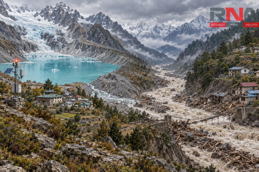
New Delhi: Authorities in Himachal Pradesh’s Lahaul-Spiti district have identified 32 vulnerable residential areas as they strengthen preparedness for a possible glacial lake outburst flood from Ghepan Lake. In a separate development, Nepal issued an alert along the Budhigandaki river basin after a flash flood damaged homes and a suspension bridge in Gorkha district on Sunday.
In Lahaul-Spiti, officials are marking potential flood levels at 128 locations between Sissu and the Sansari border. The exercise covers a possible downstream flood corridor extending about 90 kilometres through Udaipur to the district boundary.
The deputy commissioner and chairperson of the district disaster management authority, Kiran Bhadana, said the Indian Space Research Organization (Isro) had flagged the lake’s expansion in November 2023. An early warning system developed through the Centre for Development of Advanced Computing, Thiruvananthapuram, is scheduled for installation this month to monitor water levels and other parameters.
A five-member Geological Survey of India team is due to undertake a 14-day assessment of the lake, including its depth, outflow and surrounding avalanche and landslide hazards. Rapid response teams have also been formed in Sissu and Shashin, alongside preparedness training for vulnerable communities.
Satellite records show substantial lake expansion
Isro’s satellite assessment identifies the waterbody as Ghepang Ghat Lake, situated at an elevation of about 4,068 metres in Himachal Pradesh. Its surface area increased from 36.49 hectares in 1989 to 101.30 hectares in 2022 – an expansion of 178% over 33 years.
The findings form part of a wider assessment of glacial lakes across the catchments of Indian Himalayan river basins. Of 2,431 lakes larger than 10 hectares identified during 2016–17, Isro found that 676 had expanded notably since 1984, including 130 situated within India.
Nepal flood damages homes and hydropower facilities
In Nepal’s Gorkha district, the latest flood struck the Therang stream in Chumanubri rural municipality early on September 6. The district police chief, DSP Rajkumar Shrestha, told ANI that no casualties had been reported because residents escaped after noticing the rising water.
Initial police accounts said four houses and a suspension bridge had been swept away, although a subsequent local assessment distinguished between three houses destroyed and a fourth damaged. The chairperson of ward four, Pema Gyalpo Lama, told Setopati that the flood also damaged the 100-kilowatt Namrung-Therang Khola micro-hydropower project, which supplied electricity to 40 households, and another 15-kilowatt project under construction.
The assistant chief district officer, Netra Prasad Sharma, attributed the destructive surge to a temporary upstream blockage that subsequently released debris-laden water. Authorities urged downstream communities to remain alert because the Therang feeds into the Budhigandaki; the reported explanation did not establish a glacial lake breach as the cause. Setopati report
The loss of the suspension bridge has disrupted movement along the Manaslu trekking route, affecting residents and visitors. The rural municipality chairperson, Nima Lama, said local people were exploring temporary pedestrian crossings to restore access.
Different triggers, shared downstream risks
An earlier flood in the Budhigandaki basin illustrates why identifying the trigger matters. On April 21, 2024, an ice avalanche from the Manaslu Glacier entered Birendra Tal, displacing lake water and sending a surge downstream, according to an assessment by the International Centre for Integrated Mountain Development (Icimod) and its research partners.
That assessment found no significant damage to the lake’s moraine dam – the barrier of debris left by a glacier – and distinguished the event from a typical glacial lake outburst flood. It recommended monitoring glacier movement, unstable slopes and potential avalanches, underscoring the need to examine the terrain surrounding a lake as well as the water it contains.